
Reverse Image Location
AI photo geolocation with visual clue reasoning.
Rating
No reviews yet
The rating appears once real users review Reverse Image Location.
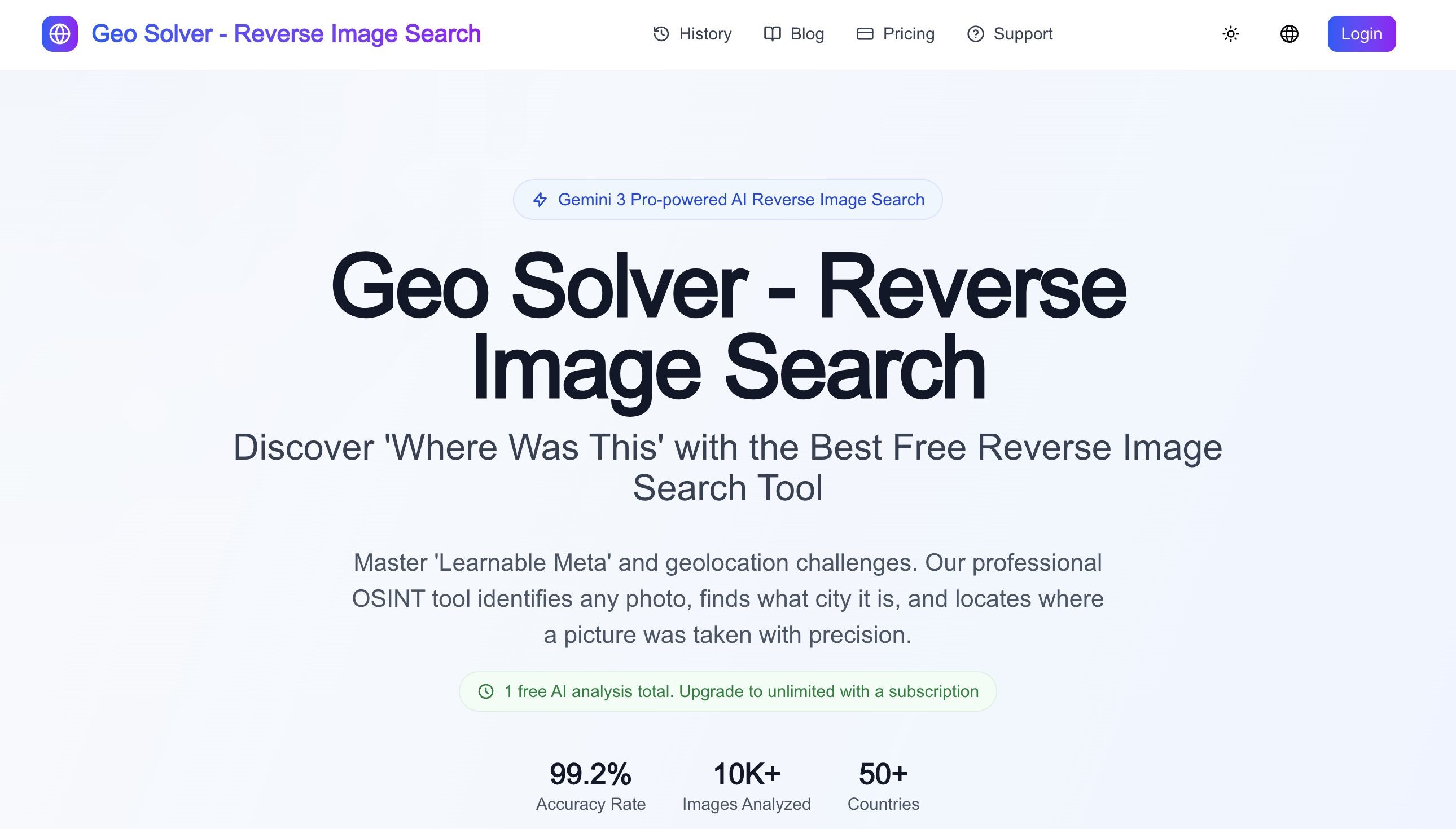
Write the first reviewReverse Image Location helps users estimate where a photo may have been taken by analyzing visible scene evidence such as signs, road markings, vegetation, terrain, architecture, vehicles, shadows, and map context. It is useful for OSINT verification, GeoGuessr-style practice, travel research, and geography learning, with results meant to be cross-checked against maps and satellite imagery.
Key features
- 01AI photo geolocation from one image
- 02Visible clue reasoning for roads, signs, vegetation, architecture, and terrain
- 03OSINT and GeoGuessr practice workflow
- 04Map and satellite cross-check guidance
Screenshots
Reviews
Phyco does not write or buy reviews - be the first. A free account takes a minute: one account, one review, confirmed email.
Sign in or sign upSimilar listings
More AI & Automation → ComfyAI & Automation
Visual AI workflow platform for creators and teams building image, video and media pipelines.
 Insect Sound IDAI & Automation
Explore cricket, katydid and cicada calls with an AI insect suggestion and an explanation of the recorded sound.
 MangaTranslateAI & Automation
Manga translation with batch image and PDF processing, an online studio editor, and API access.
 ProfileLoomAI & Automation
Turn one photo into the right portrait for every profile.
 MomentSiftAI & Automation
AI photo culling, enhancement, and creation in one workflow.
 Public PromptsAI & Automation
Find AI tools by category and pricing, with free prompts and models.